
Average Jammu constituency now 100 Sq KM smaller than 1995 mapping
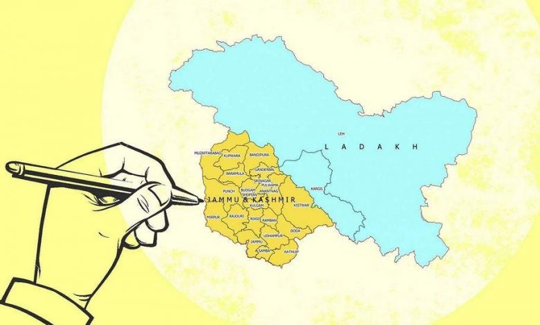
When the electoral constituencies in Jammu and Kashmir were delimited for the first time ever, the disparity in terms of average area per constituency in the two divisions was as large as 500 square kilometers, which has now come down to 272 square kilometers.
As the allocation of Assembly constituencies narrows down the numerical gulf between Kashmir and Jammu to four, there is also a significant impact on the area and population size. Jammu region’s demand for an increase in the number of Assembly constituencies has always been on the basis of area and difficulty of terrain in the hilly region.
Even as the population is a central element in the process of delimitation, the area, topography, accessibility, communication, and number of other factors are also considered. The latest Delimitation Commission, headed by Justice Ranjna Prakash Desai, also considered proximity to the International Border and the Line of Control as an additional factor.
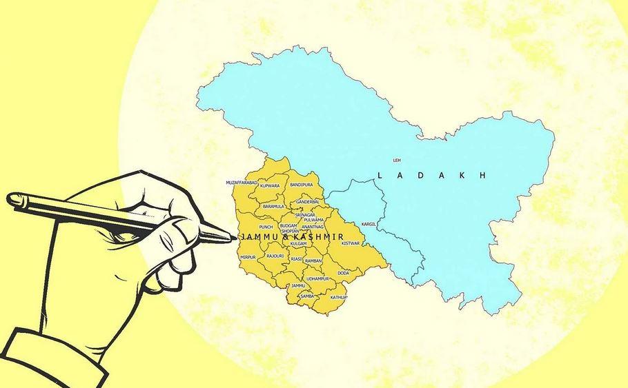
The first-ever delimitation process had allocated 43 seats to Kashmir and 30 to Jammu, triggering a sharp reaction for the latter region which has continued for seven decades. The first Assembly in 1952 was constituted on the basis of 1941 census following a delimitation exercise which created a total of 75 Assembly seats. Jammu region, particularly the Tawi catchment area, has called discrimination ever since, mainly on the basis of area.
Following first delimitation, the average area under a constituency in the Kashmir Valley was 370 Square Kilometers while in Jammu this was 876 Square Kilometers. There are allegations that first delimitation sent each constituency in Jammu over an average of the population of 75,000 and in Kashmir, the number was 55,000. However, this is unsubstantiated since there was no census in 1951, the first delimitation was based on 1941 census and in 1947-48 there was huge displacement of population including the loss of territory to Pakistan.
The tussle of Jammu against Kashmir on the distribution of Assembly constituencies has been a historic one coming on from first delimitation ever. In 1951, Kashmir was allocated 43 seats and Jammu 30 –a gap of 13 seats. Seventy years later, that gap has come down to four but it is not about the numbers anymore.
The last delimitation of 1995 had carved an average constituency in Jammu over an area of 710 Square Kilometers while this size was 370 Square Kilometers in Kashmir. The current distribution has changed significantly -339 Square Kilometers in Kashmir and 611 in Jammu.
The real action in the electoral process is driven mainly by the people and not entirely the land. That dynamic has changed for the two regions. Now the Assembly constituencies are much smaller in Jammu than in Kashmir in terms of population size.
Nineteen Constituencies in the Kashmir Valley are of the population size of 1.5 lakh or above, while this number for Jammu is only six. Similarly, 25 Constituencies in Kashmir are in the population range of one to one and a half lakh. This number in Jammu is, however, 30. While the Jammu region now has seven Constituencies with a population of less than one lakh, this number in Kashmir is only three.
As per the 2011 census, and taking out population of Ladakh, the average population per constituency in Jammu and Kashmir works out to 136300. As per the Delimitation Commission’s proposed allocation, the average population size per constituency in Kashmir is 146563 and in Jammu, it is 125082. Now population size of an average constituency in Jammu is 20,000 souls smaller than one in Kashmir.
The reading down of the special status of Jammu and Kashmir and its reorganisation on August 5, 2019, had meanings going far beyond symbolism and ideological oaths. It meant changing the ground rules of politics and society in every which way possible.